18.4.2018
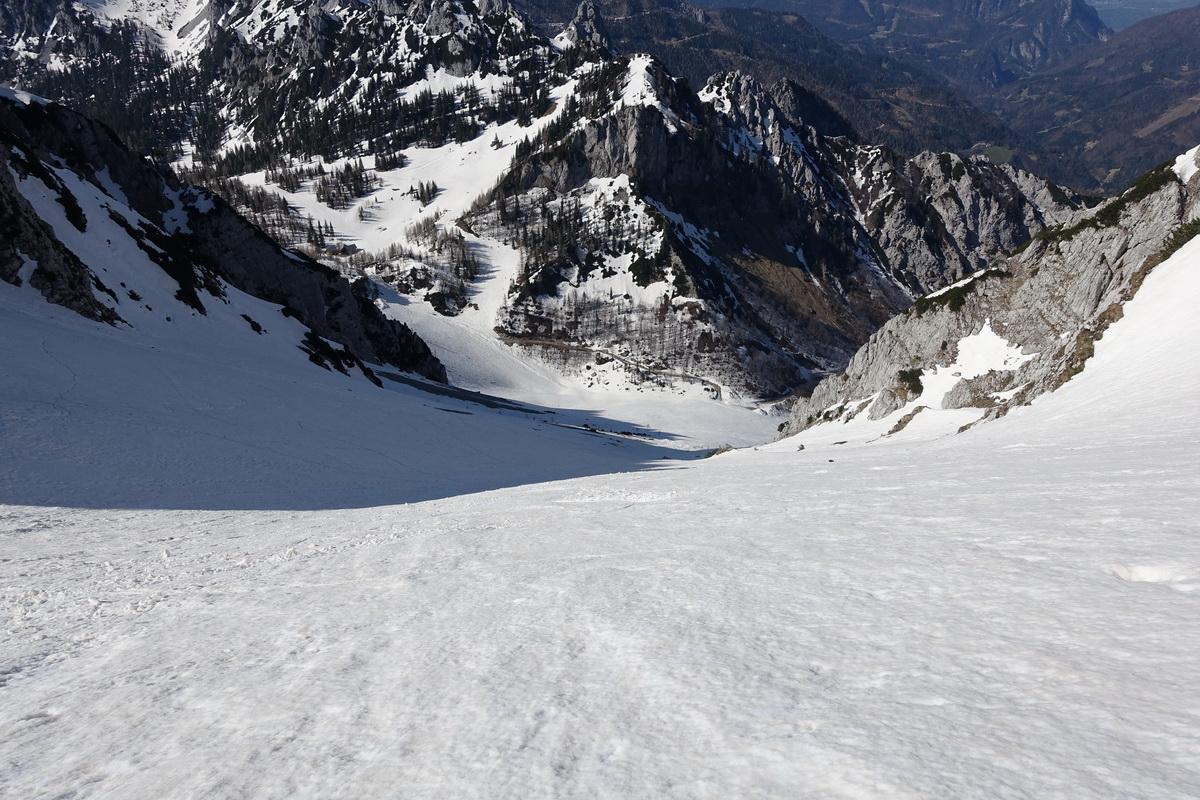
Prvič mi je uspelo priti brez snemanja smuči do vrha. Tudi smuka je bila z vrha neprekinjena. Spodaj pa seveda cca 10 min po kopnem do avta. Krasen dan, krasno vreme, krasna smuka !



Travel
18.4.2018
Prvič mi je uspelo priti brez snemanja smuči do vrha. Tudi smuka je bila z vrha neprekinjena. Spodaj pa seveda cca 10 min po kopnem do avta. Krasen dan, krasno vreme, krasna smuka !
4.3.2018
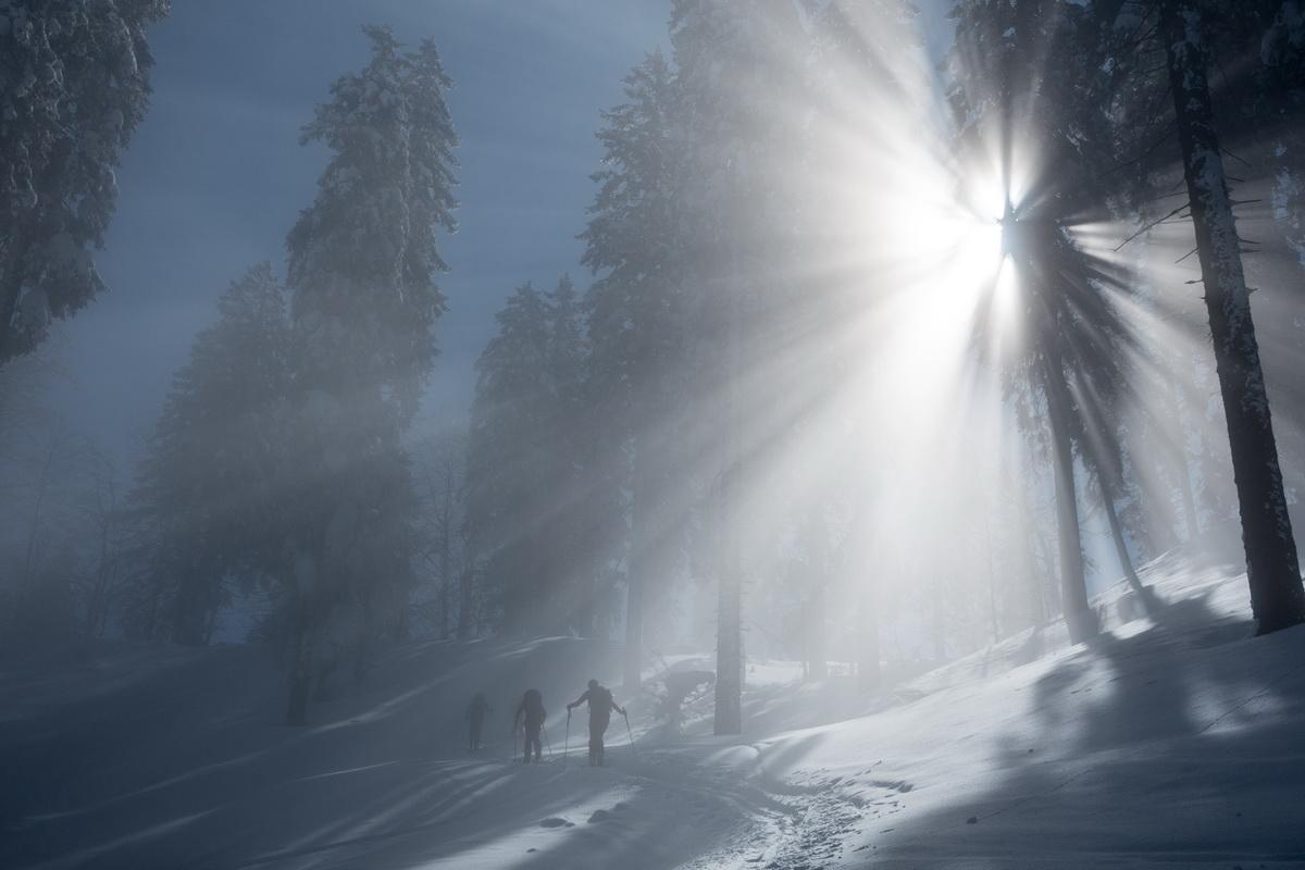
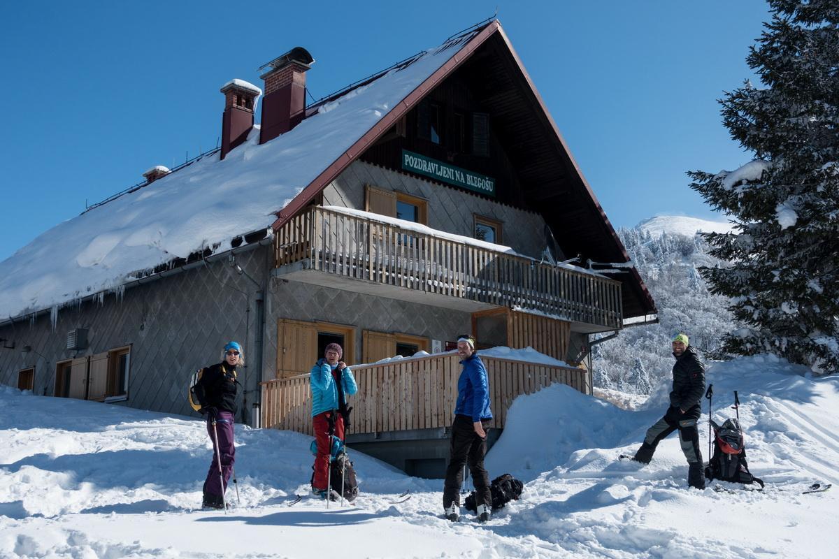
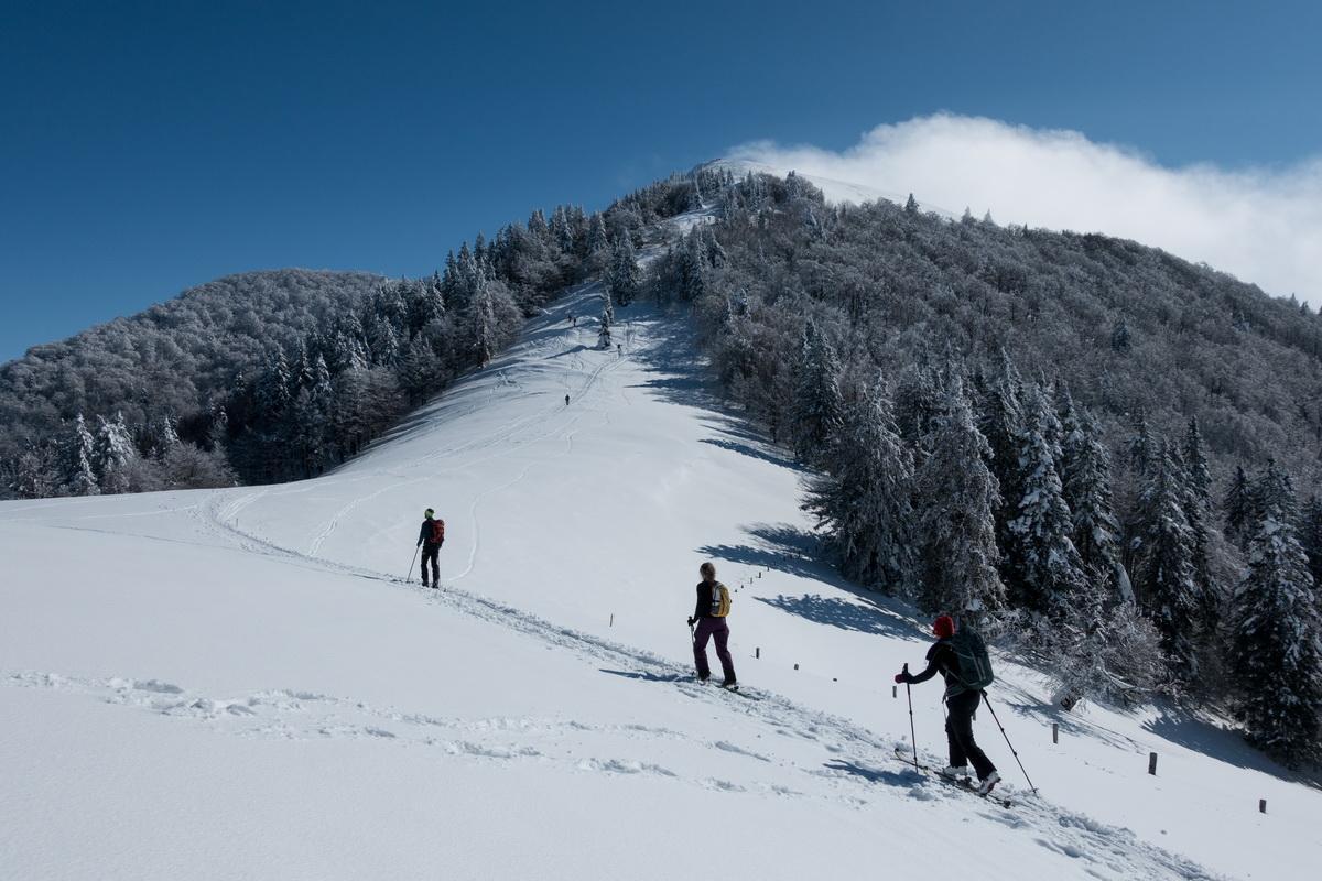
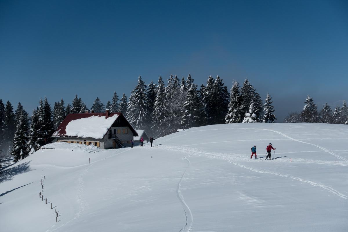
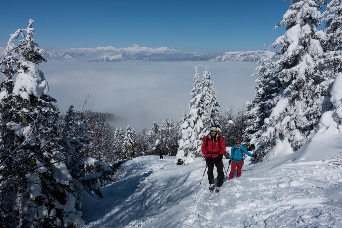
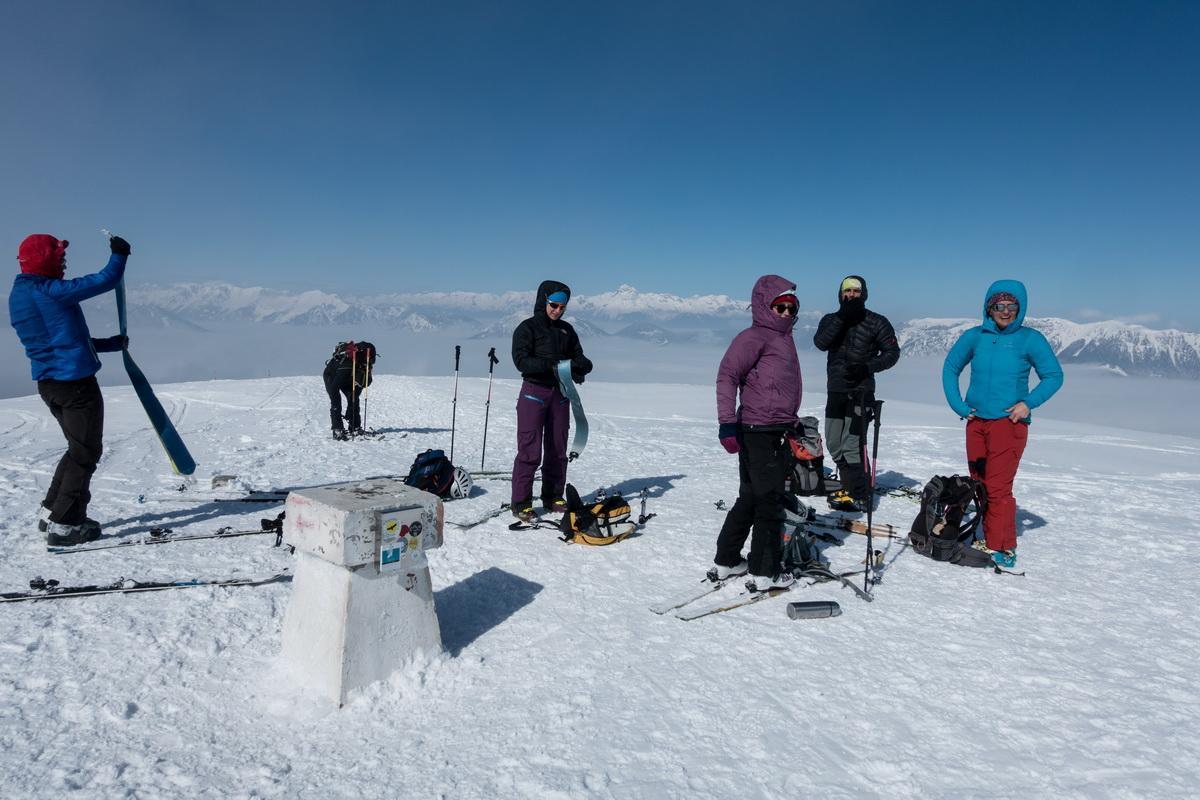
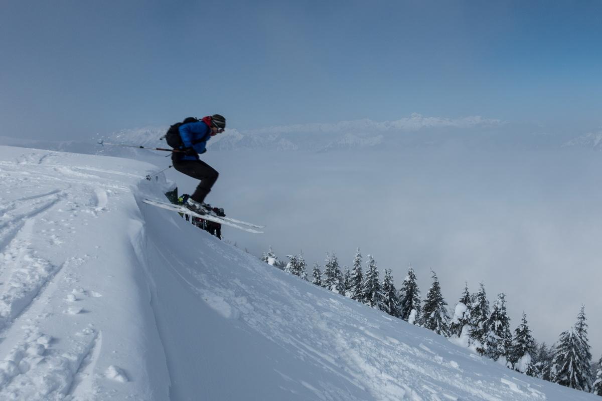
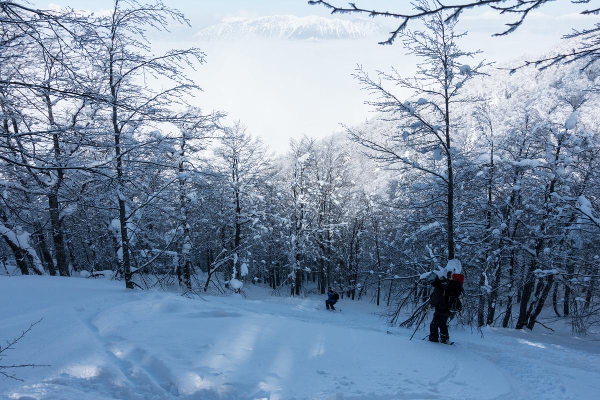
Kratka tura na Blegoš, na vrhu veter, smučarija pa kar precej solidna.
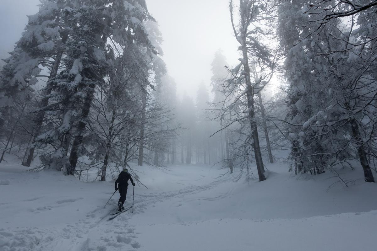
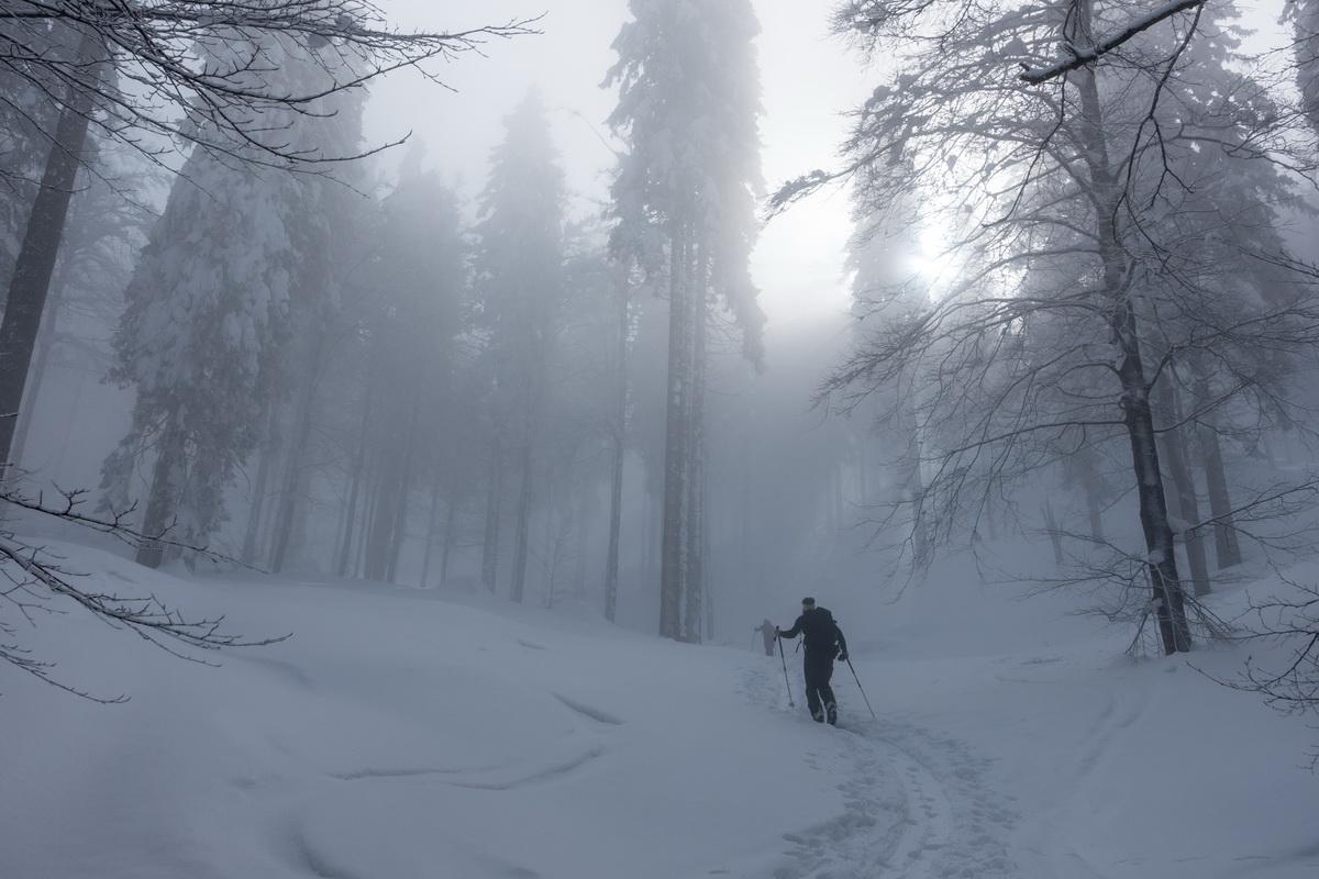
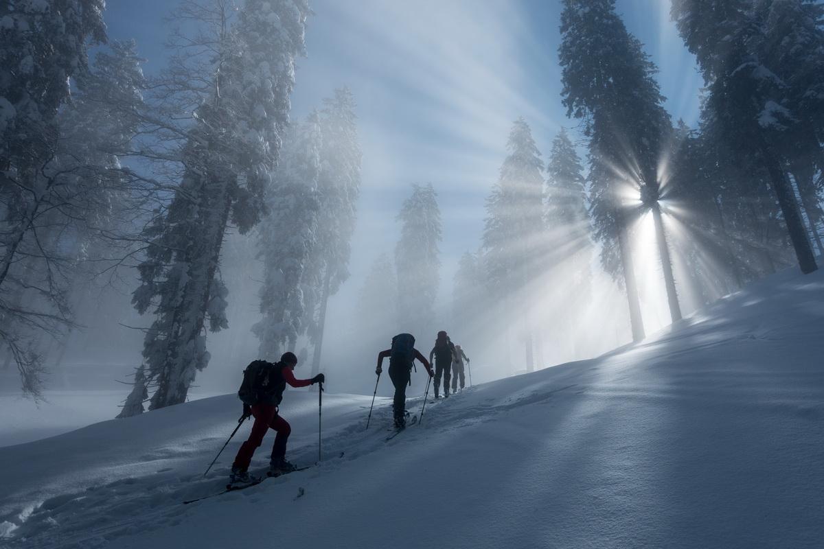
Map of the route “Blegoš”: 6,797 m, 1,169 m of climbing and 1,177 m of descent, elevation between 801 m and 1,566 m, time 03:05:27. It is a loop that starts and ends at 46.18340, 14.10531 (latitude, longitude).